


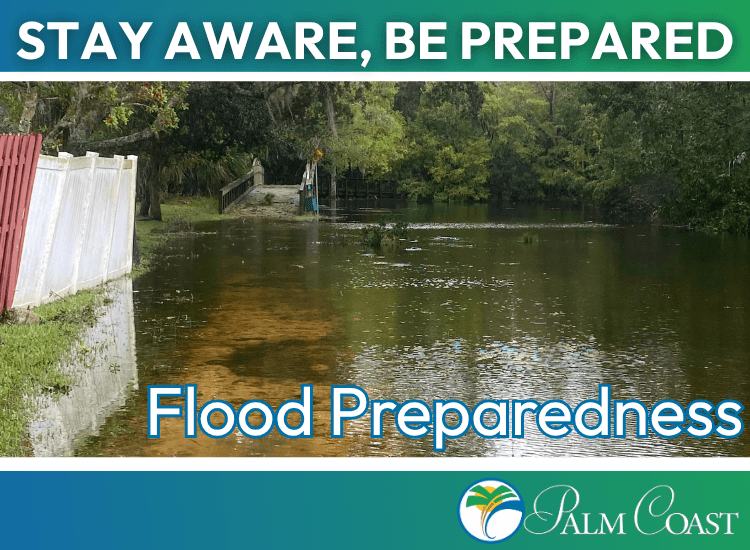
Flood Preparedness
In the event of a hurricane or major storm, flooding can be a possibility. Take steps to ensure that you, your family, and your home are prepared before a flood happens.
Navigation Menu

About the Community Rating System

What is a Flood Hazard Area?
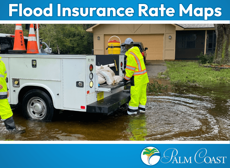
Flood Insurance Rate Maps
Information for property owners regarding the presence of flood hazards and possible actions that may be taken to protect persons and property.
An annual account of activities associated with the City of Palm Coast (“City”) Floodplain Management Program
An annual account of activities associated with the City of Palm Coast (“City”) Floodplain Management Program
An annual account of activities associated with the City of Palm Coast (“City”) Floodplain Management Program
An annual account of activities associated with the City of Palm Coast (“City”) Floodplain Management Program
Quick Links
Check Your Canal Levels
Check your canal levels in real-time to determine the risk to your neighborhood.
Learn More!Search Existing Elevation Certificates
to search for existing elevation certificates that may be of use when speaking to your insurance company.
Search Now!National Flood Insurance Program
The NFIP offers flood insurance to help you protect the life you’ve built and recover more quickly after a flood.
Learn More!National Flood Hazard Layer Viewer
The National Flood Hazard Layer (NFHL) is a geospatial database that contains current effective flood hazard data.
View Now!Letter of Determination
A letter of determination will tell you what flood zone your property and structure are in based on current FEMA Flood insurance rate maps.